![Haw Cliff [Thurstonland Hill]](https://cdn.walkmates.com/hill-photos/hill-placeholder.jpg)
Upland / Hill
Circular
Hard
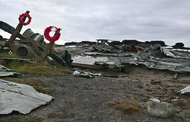
Old Glossop and Bleaklow Head Circular with B-29 Crash Site
PaulWalkmates
Walk organiser

![Haw Cliff [Thurstonland Hill] location map](https://cdn.walkmates.com/hill-maps/haw-cliff-[thurstonland-hill].png)
No comments yet. Be the first.